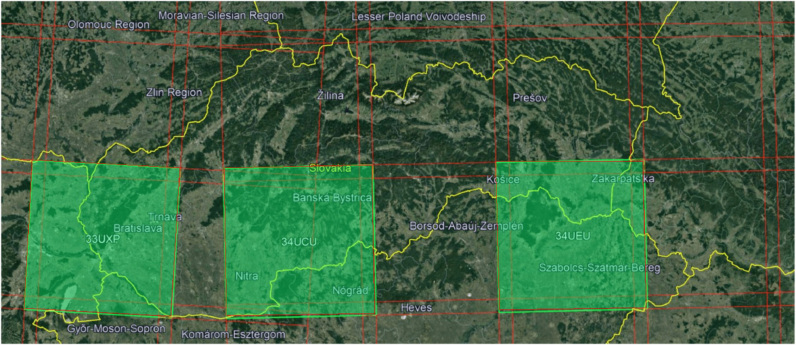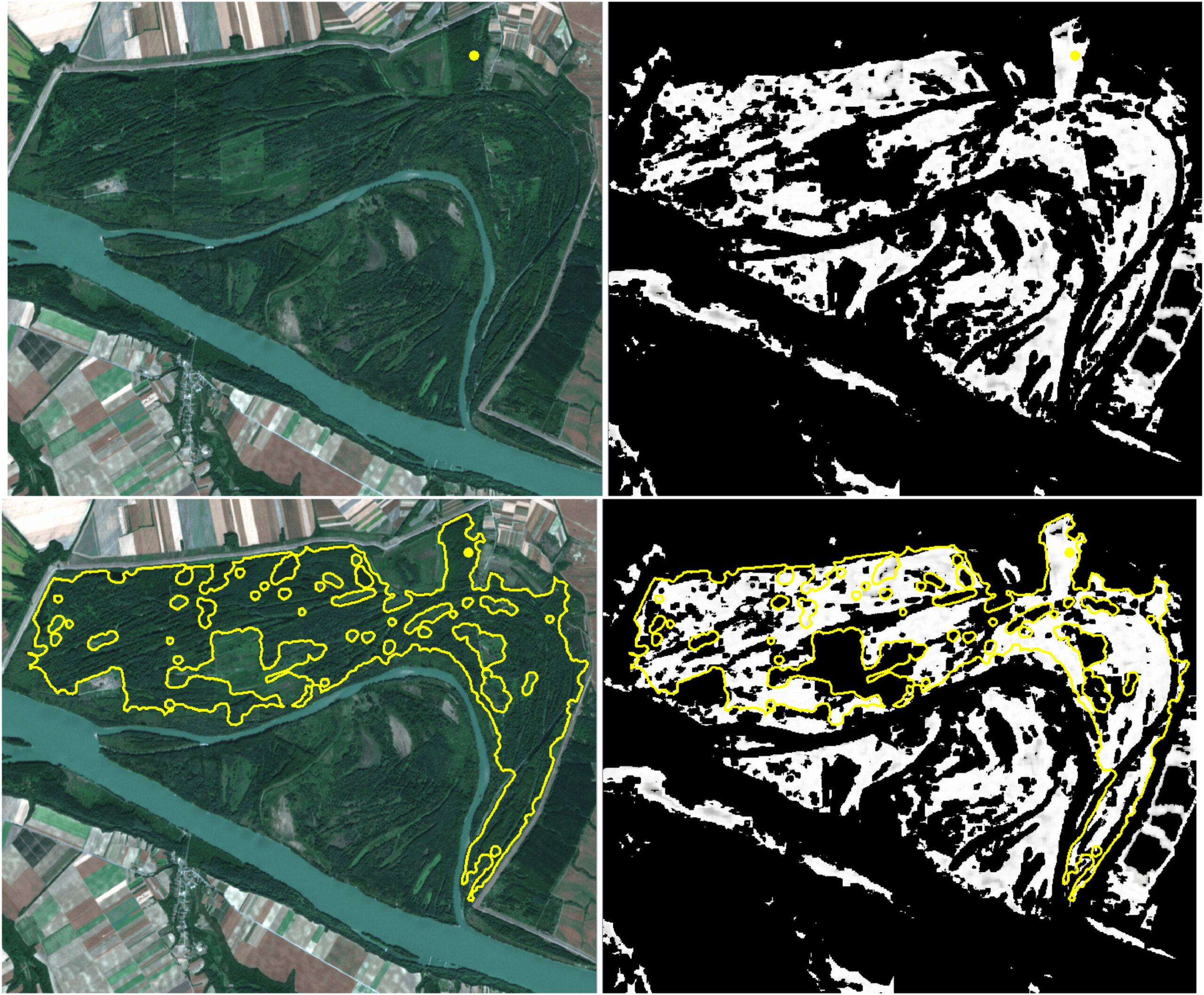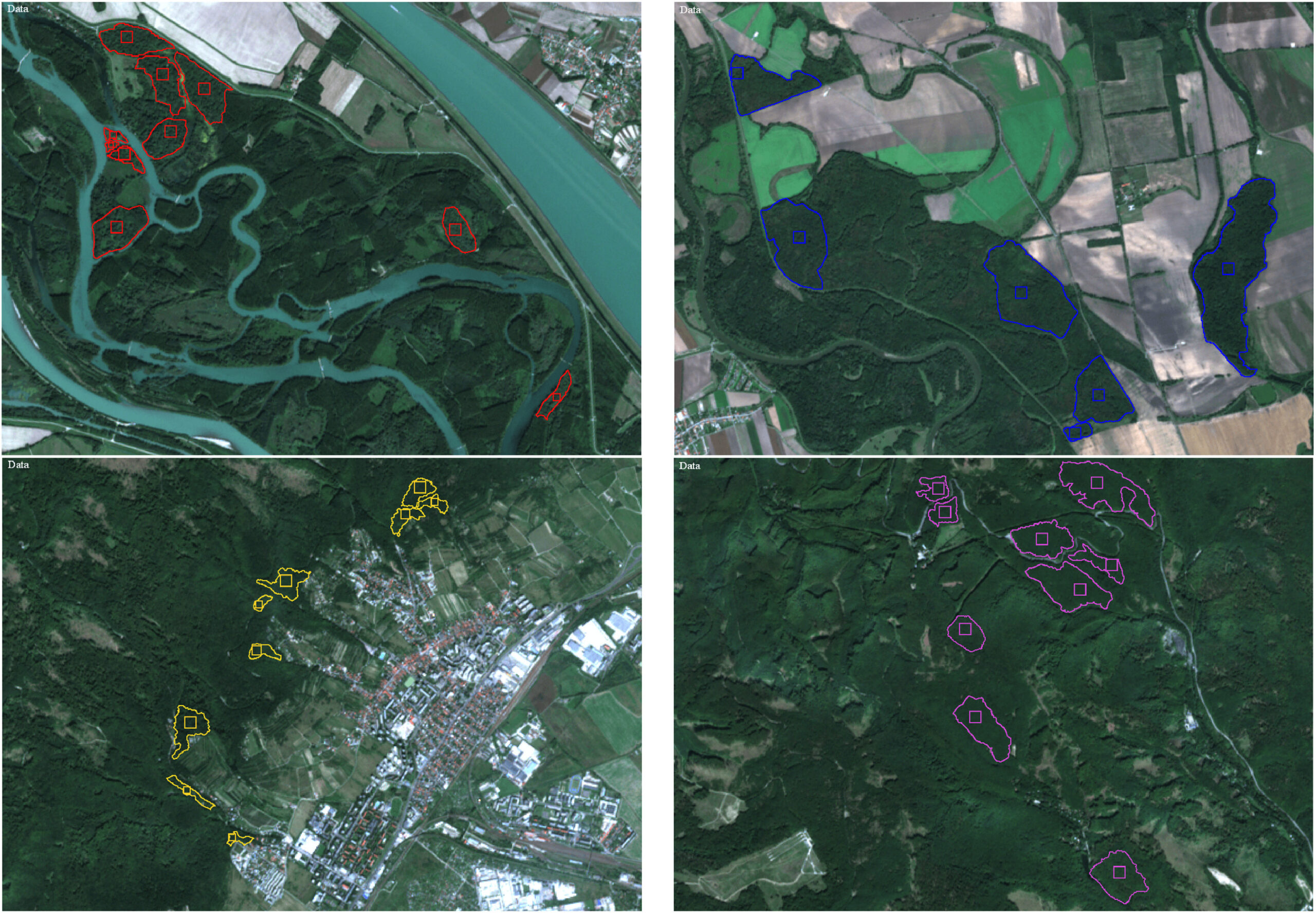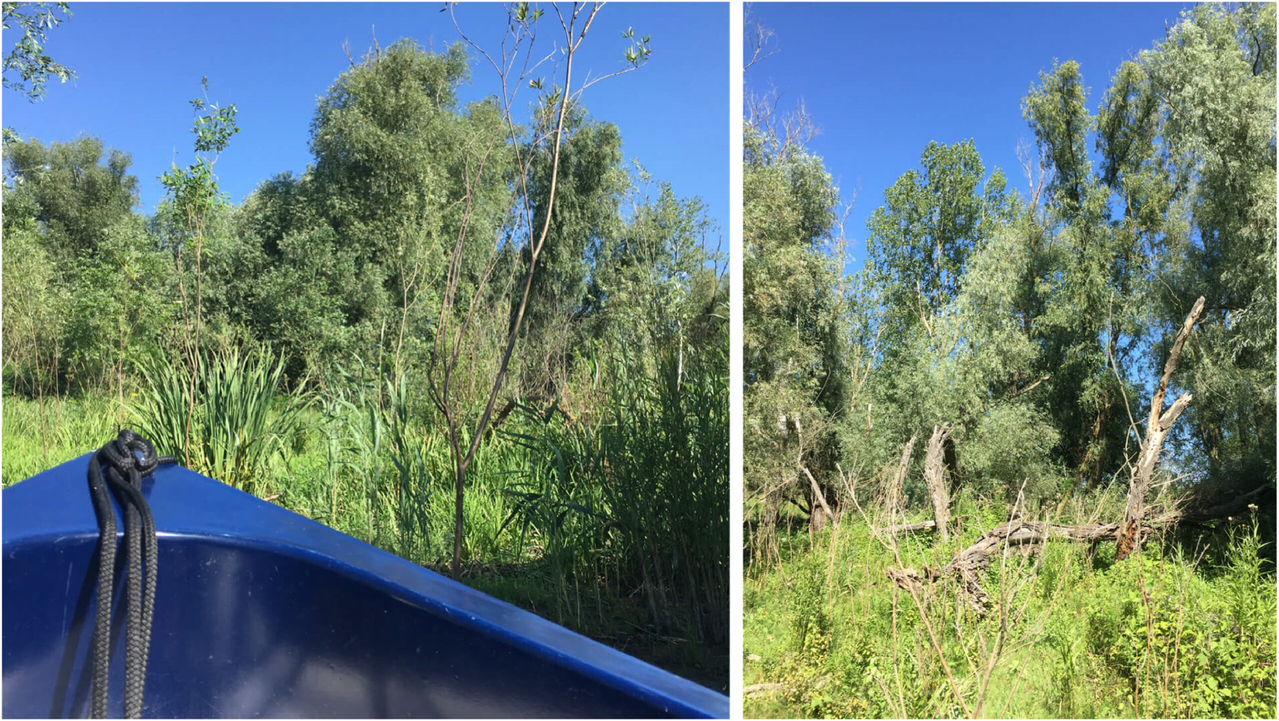
Botanists from the Department of Biodiversity and Plant Ecology of the Plant Science and Biodiversity Centre of the SAS together with mathematicians from the Department of Mathematics, Slovak University of Technology in Bratislava have been developing the NaturaSat software for identifying the protected sites in the Natura 2000 network as part of the long term interdisciplinary project.
A team of people – scientists, Ph.D. students, from both of the Institutes – Department of Mathematics of STU in Bratislava and from the Botanical Institute of the Center of Plant Biology and Biodiversity of the Slovak Republic – are working on the project. They have currently published an article on mutual cooperation, which is freely available for 50 days at the following link: https://www.sciencedirect.com/science/article/pii/S0307904X22005613?dgcid=author
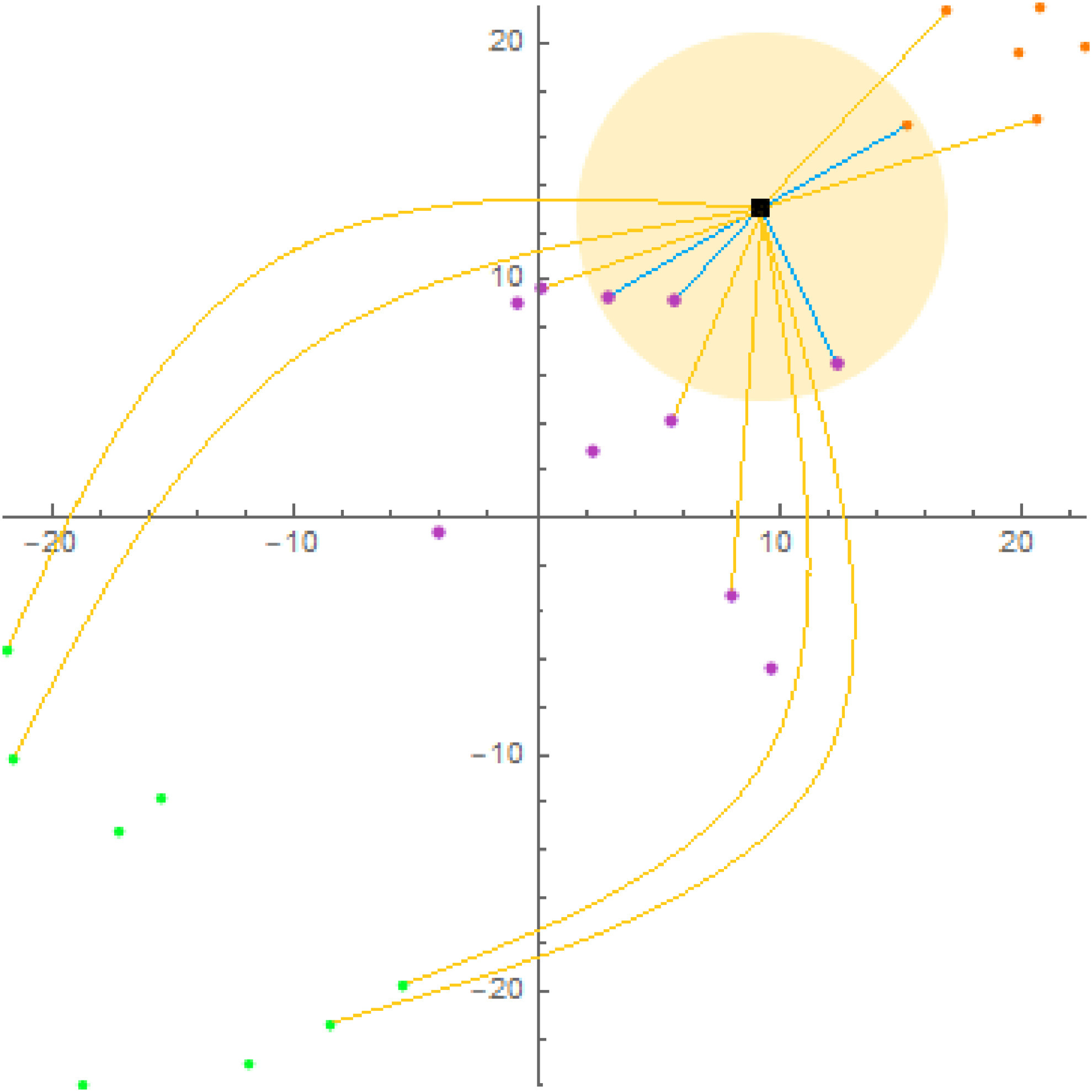
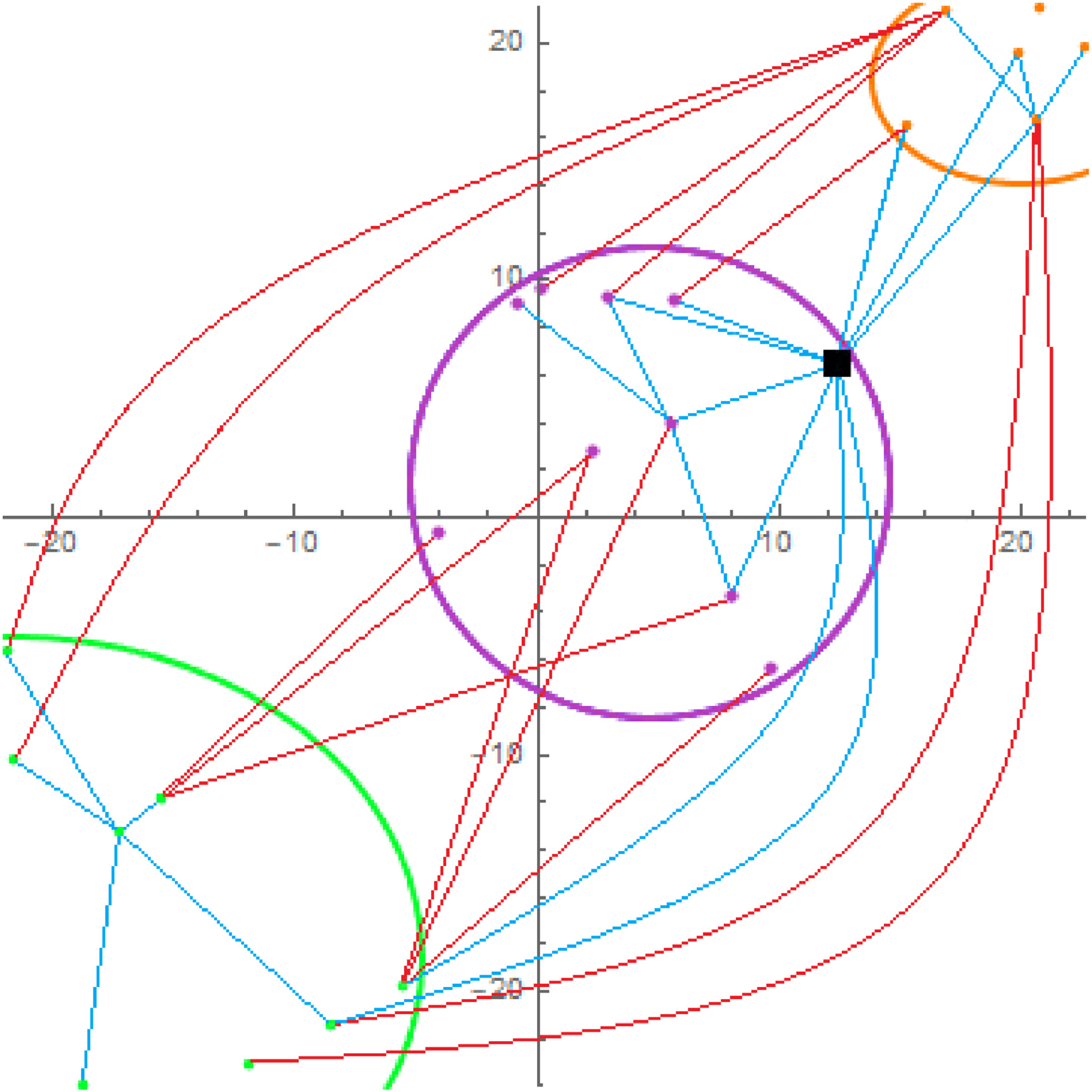
Natural numerical networks are a new classification algorithm based on the numerical solution of nonlinear partial differential equations. The result of training these numerical networks are relevancy maps, with the help of which we can identify, monitor and also search for new locations of protected Natura 2000 habitats using remote sensing data.
Text: Michaela Michalková, Lucia Čahojová
Photo: Downloaded from the article (https://www.sciencedirect.com/science/article/pii/S0307904X22005613?dgcid=author)


